Hiking Mount Sherman: Colorado’s Easiest 14er with a Windy Ridge
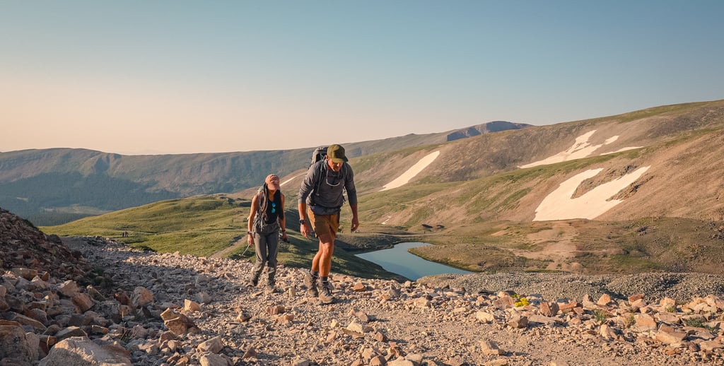
Mount Sherman (14,043 ft) has a reputation as one of the easiest 14ers in Colorado — and it often becomes the first summit for new peak baggers. The hike is shorter and less physically demanding than many Class 1 routes, but don’t mistake that for “easy.” The final ridge introduces wind, exposure, and a bit of mental challenge that surprises many first-timers.
14ERSHIKING
8/24/20253 min read
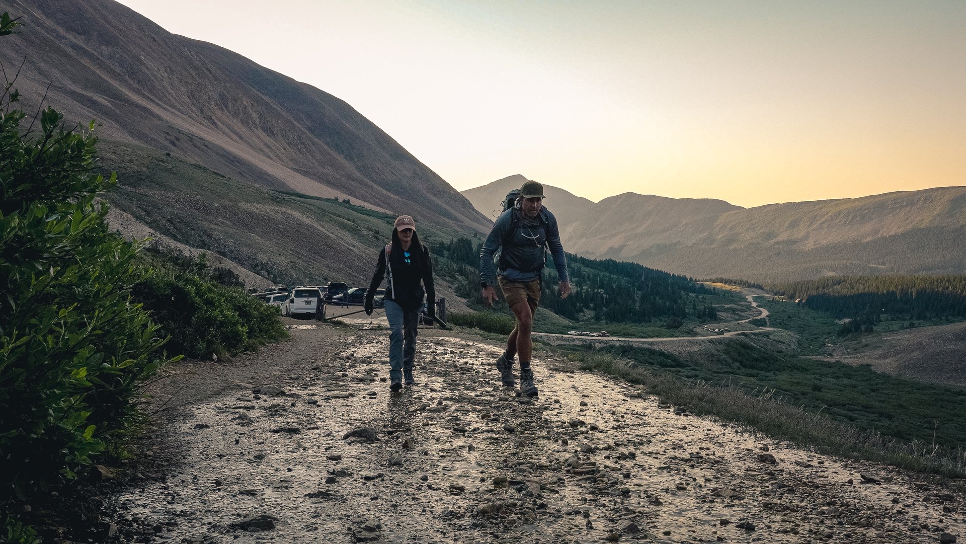
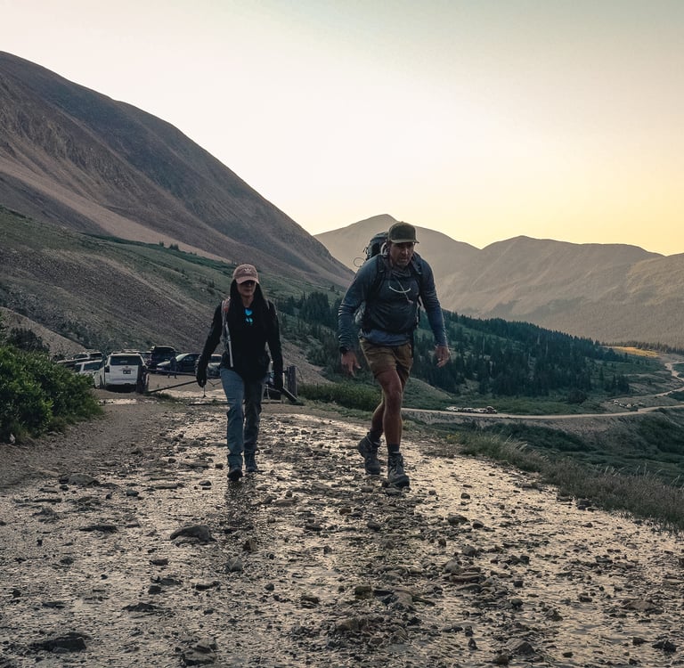
Parking & Access
The standard route starts from Fourmile Creek near the old Leavick mining site.
Gate at 12,000 ft: Small parking area at the trailhead. This is the shortest and most common start point.
Leavick Site (11,250 ft): Larger parking lot with more space. Adds distance and gain.
Winter Closure (11,100 ft): Lowest access point when snow closes the road.
📊 Hike Options:
12,000 ft Gate: 5.25 miles RT, 2,100 ft gain
Leavick Site: 8.5 miles RT, 2,850 ft gain
Winter Closure: 10.5 miles RT, 3,100 ft gain
Route Description: Standard Southwest Ridge
From the 12,000 ft gate, follow the old mining road uphill. Along the way, you’ll pass several mining relics that hint at Sherman’s history:
Dauntless Mine (12,300 ft) — your first landmark.
Junction at 12,500 ft — stay right and continue toward Hilltop Mine.
Hilltop Mine (12,900 ft) — the road flattens out, and the saddle between Mt. Sheridan and Mt. Sherman comes into view.
From here, cairns mark a trail that leaves the road and switchbacks up to the Sheridan–Sherman saddle at 13,150 ft.
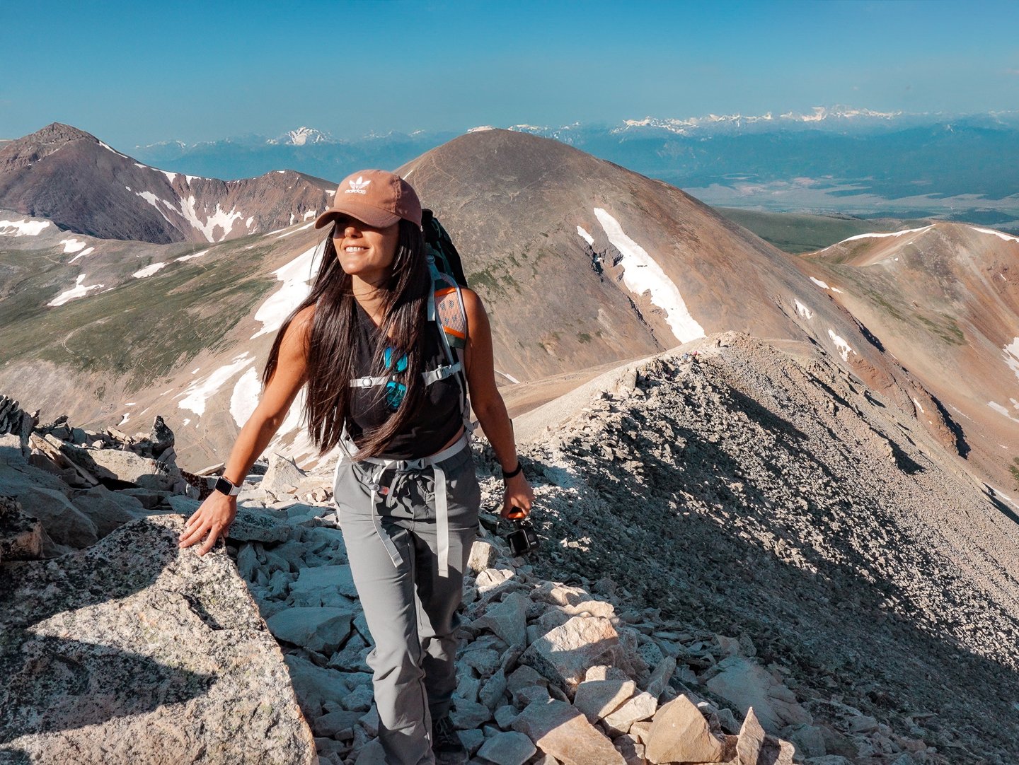
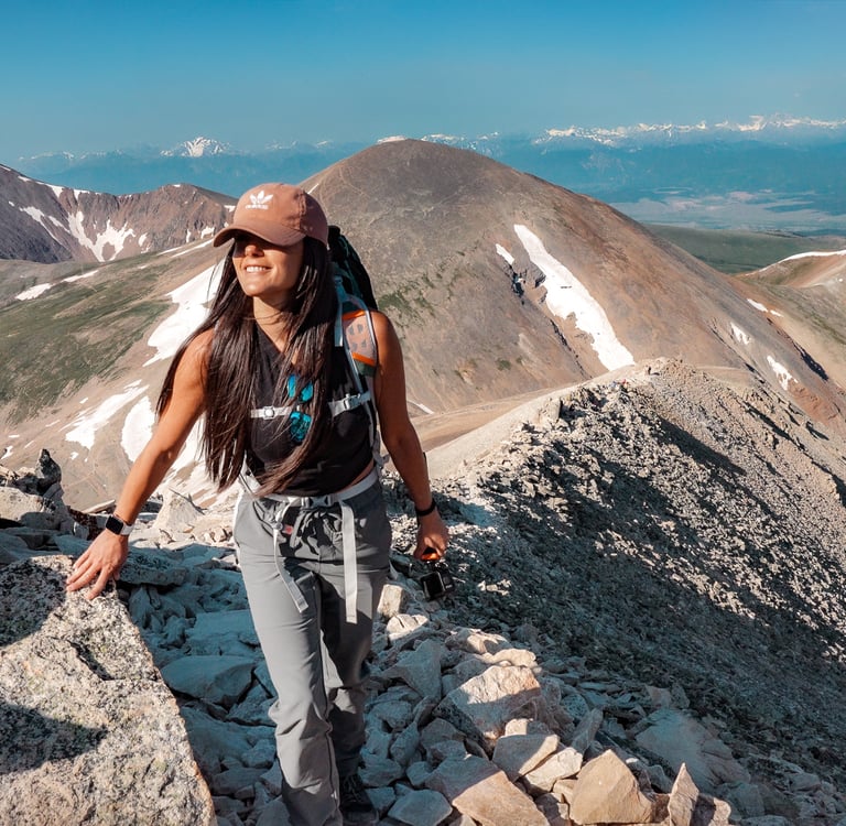
At the saddle, turn right onto Sherman’s southwest ridge. The trail is clear, but this is where things change:
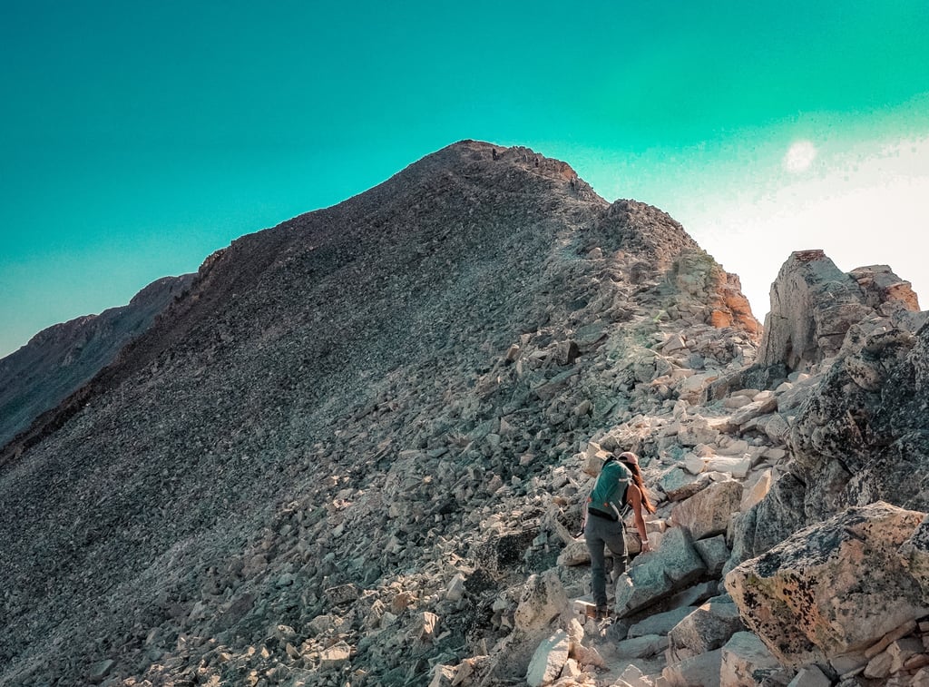
13,150–13,600 ft: Trail stays just below the ridge crest, avoiding the rockiest sections.
13,600 ft Notch: Regain the ridge, with the rest of the route now visible.
Ridge Traverse: Narrower, windier, and looser than the road below — but still manageable for beginners.
This is the mental crux of the hike. The exposure isn’t extreme, but if you’ve never been on a ridge before, it can feel intimidating. Add in Sherman’s famously strong winds, and many hikers find this section more challenging than the mileage would suggest.
After one last pitch, the trail reaches Sherman’s wide summit ridge. From there, it’s a short 0.2-mile stroll to the summit.
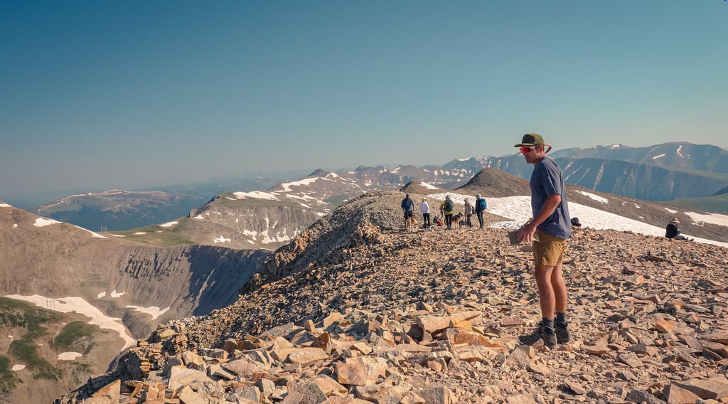
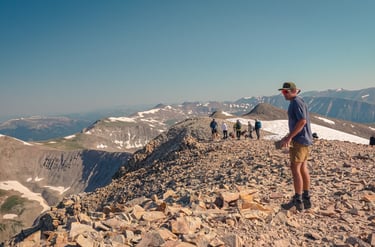
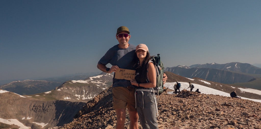
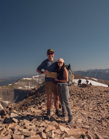
The Summit
Sherman’s summit is broad, flat, and often busy in summer. The views stretch across the Mosquito Range, South Park, and toward the Sawatch peaks to the west. It may not be the most dramatic 14er summit, but it delivers that classic alpine reward — blue skies, endless ridgelines, and the satisfaction of standing at 14,000 ft.
Final Thoughts
Mount Sherman is often labeled as “easy” — and in terms of distance, elevation gain, and technical demands, it is. But the experience is more than just numbers. The windy ridge, brief exposure, and wide-open alpine terrain give first-time hikers a real taste of what 14ers are about.
If you plan to hike Mount Sherman:
🥾 Start from the 12,000 ft gate if you want the shortest route.
💨 Be ready for wind — it’s almost always blowing hard along the ridge.
🧠 Don’t underestimate the mental side — the ridge exposure can test beginners.
🌩 Start early to avoid afternoon storms.
⛏ Respect the mining relics along the trail.
With preparation, Mount Sherman delivers one of the most approachable — yet still memorable — 14er experiences in Colorado.
Trail Stats
Route: Fourmile Creek (Standard Route, Class 1)
Distance: ~5.25 miles round trip
Elevation Gain: ~2,100 ft
Trailhead Elevation: ~12,000 ft (Fourmile Creek Trailhead)
Summit Elevation: 14,036 ft
Difficulty: One of the easiest 14er standard routes, but still challenging due to altitude
Best Season: July to September (road to trailhead usually closed in winter)
Parking: Dirt road access via Fourmile Creek; passenger cars may struggle with rough sections — high-clearance recommended. Limited parking near mine ruins.
Note: Despite its Class 1 rating, Sherman is exposed to sudden storms and strong winds. Always start early and be prepared with layers and the 10 essentials.