Hiking Mount Shavano: The New Official Route to the Summit
Discover the new official route to Mount Shavano (14,229 ft). Full trail guide with stats, junction details, navigation tips, and why this new trail matters for hikers and the mountain.
14ERSHIKING COLORADO 14ERSHIKING
Devin
8/26/20254 min read
Hiking Mount Shavano: The New Official Route to the Summit
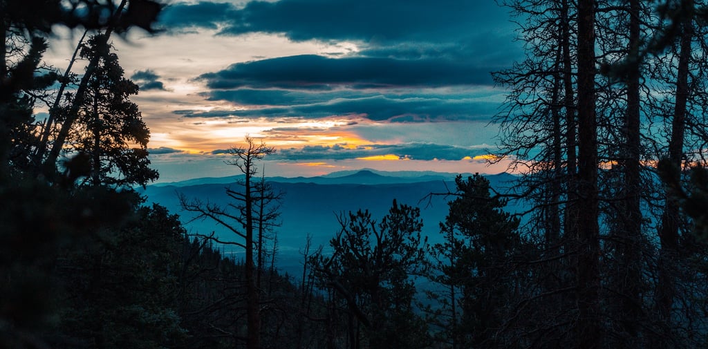
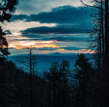
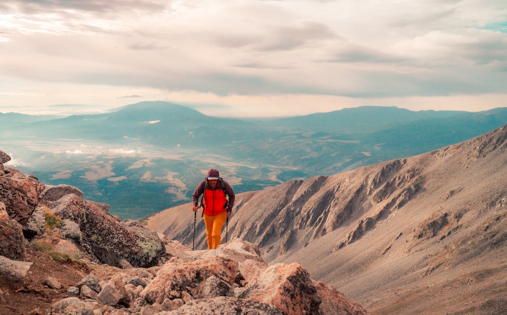
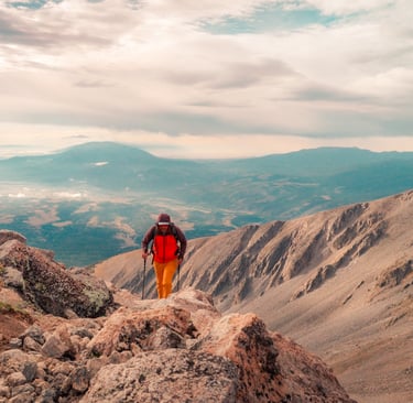
Mount Shavano (14,229 ft) is one of Colorado’s beloved Sawatch Range 14ers — but for years, the route up the mountain was steep, eroded, and often confusing. In 2025, a brand-new official trail was opened, designed to improve sustainability, reduce erosion, and make the climb more straightforward for hikers.
This new route isn’t on most hiking apps or maps yet, which means a lot of hikers are still unsure about where to go. I hiked the new trail and put together everything you need to know so you can summit with confidence.
Trail Stats
Route: New Official Trail via Blank Gulch
Distance: ~9.5 miles round trip
Elevation Gain: ~4,400 ft
Class: 2
Trailhead Elevation: 9,800 ft
Summit Elevation: 14,229 ft
Best Season: July–September
Finding the New Route
The hike begins at the Blank Gulch Trailhead, the same starting point as the old route. The first 1.8 miles are a well-groomed climb through the forest. Here’s the important detail:
At 1.8 miles, the new trail splits right, while the old trail continues straight. The old trail has been deliberately blocked with logs, making it hard to spot. Stay right to remain on the new official trail.
Climbing Toward Treeline
The new route continues to climb steadily and more gradually than the old trail, winding through the trees before breaking out above treeline. The trail is well-built here, and the grade makes the climb feel more manageable than the direct, eroded sections of the old route.
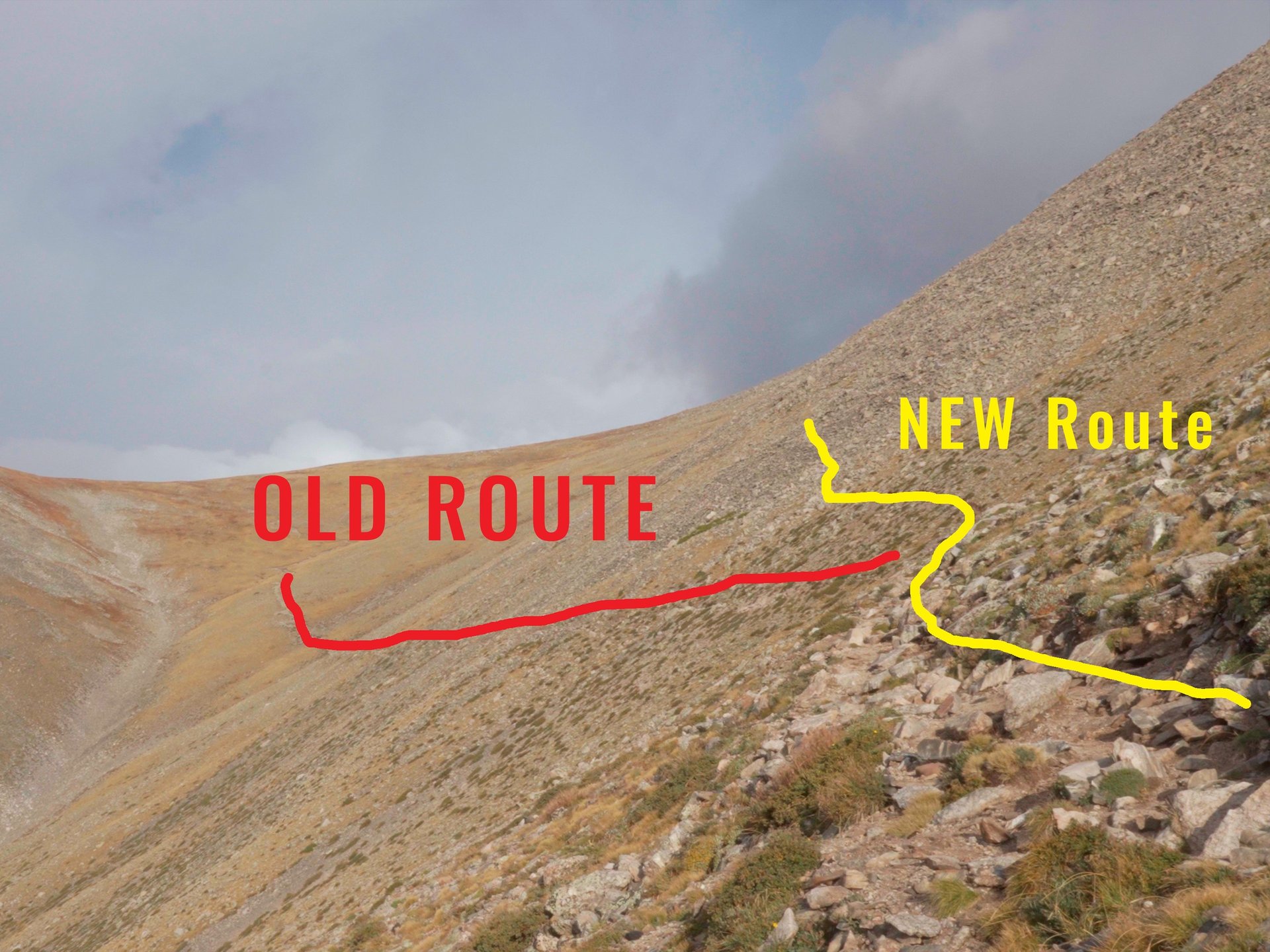
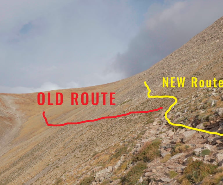
The False Summit
At 3.5 miles, you’ll reach the most confusing part of the hike.
Here the new official trail continues to the right, climbing up through a talus field toward the false summit. The trail is surprisingly well built and easy to follow, even as it gets steeper.
The potential for confusion comes from the old route, which is still visible cutting left across the basin. From a distance, it looks like a tempting line, but don’t be fooled — that trail heads up toward a different saddle south of Shavano, not the main Shavano–Tabeguache saddle.
Stay right and follow the new path through the talus. It’s the designated route, more stable underfoot, and keeps you on track for the summit.
Final Push to the Summit
The new route currently ties back into the old upper route near the summit. This means you may encounter some light route-finding in rocky areas, but cairns and faint paths are still visible. Expect some scrambling in loose terrain, especially near the top.
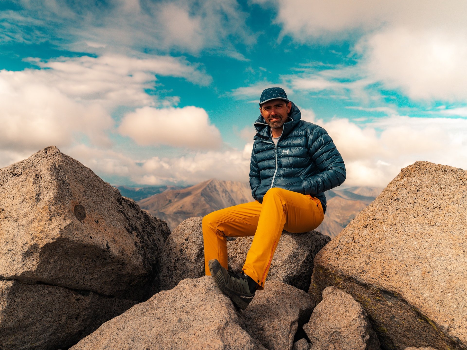
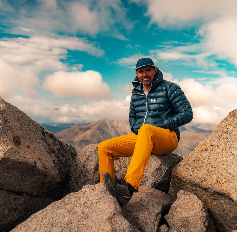
Once on the summit, you’re rewarded with expansive views of the Sawatch Range, including neighboring 14er Tabeguache Peak.
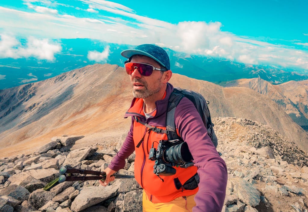
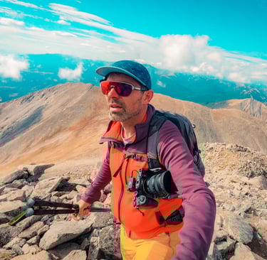
My Summit Experience
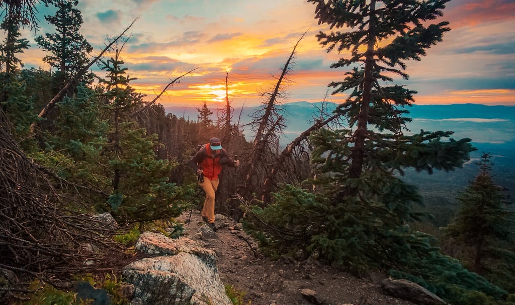
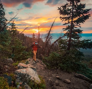
On my hike, I had planned to continue across to Tabeguache Peak, which is often paired with Shavano as a two-summit day. But by 9:30 a.m., I could see weather starting to move in. Clouds were building fast, and it was clear a storm could roll through.
That was my cue to turn around. It ended up being my first failed summit attempt — I had to bail on Tabeguache. And honestly? I did everything right. I started early, checked forecasts, carried the right gear, and moved efficiently. But the mountains have the final say, and sometimes they just remind you that they’re in charge, not us.
It was a humbling lesson and one worth sharing: success in the mountains isn’t about reaching the top at all costs. It’s about coming back safely, ready to try again another day.
Why the New Trail Matters
This updated trail was designed to reduce erosion and create a more sustainable route up Shavano. The old trail was heavily braided and unstable, contributing to long-term damage to the fragile alpine environment. By following the new official route, hikers help protect the mountain and ensure access for years to come.Navigation
Because the trail is so new, it isn’t updated in most hiking apps or maps yet. I’ve uploaded the new official route to Gaia GPS, and you can find the link in my bio. I strongly recommend downloading the track before your hike to avoid confusion at the two major junctions (1.8 miles and 3.5 miles).
Final Thoughts
Mount Shavano is still a tough 14er — 9.5 miles and 4,400 feet of gain make it a serious day in the mountains. But with the new official trail, the route is more sustainable, more defined, and a lot safer for both hikers and the mountain itself.
If Shavano is on your 14er list, make sure you’re using the new official route and not relying on outdated maps. And remember: sometimes the best decision you can make is to turn back — because the mountain will always be there tomorrow.