Hiking La Plata Peak: A Challenging Colorado 14er
La Plata Peak (14,336 ft) is Colorado’s fifth-highest mountain and a challenging 14er near Twin Lakes. This guide covers the Northwest Ridge route, what to expect on the trail, key route-finding tips, and my experience hiking it in August 2025 during smoky wildfire conditions
14ERSHIKING
Devin
8/24/20254 min read
Getting to the Trailhead
From U.S. 24 south of Leadville, take Colorado 82 west toward Twin Lakes. Drive 14.6 miles, and you’ll find the clearly marked trailhead and parking area on the left. The lot can fill up quickly on weekends, so arrive early.
The Hike Up La Plata Gulch
From the parking area, walk about 100 yards down South Fork Lake Creek Road and cross a vehicle bridge. After another quarter mile, a signed trail splits left — this is the La Plata Gulch Trail.
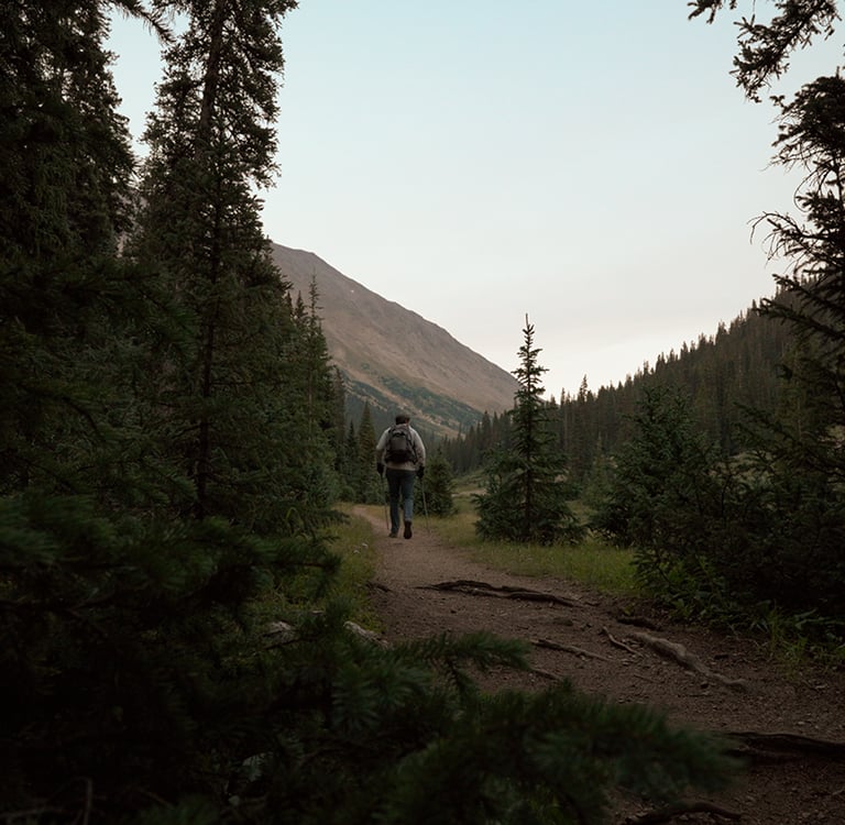
The trail begins with a pleasant forest walk, crossing the South Fork of Lake Creek on a sturdy bridge and then La Plata Gulch Creek on a log bridge. Shortly after, the real work begins.
At 10,400 feet, the trail steepens dramatically, climbing along the east side of the creek. Over the next 500 feet of elevation gain, you’ll feel your legs burning as the forest gives way to glimpses of the gulch above.
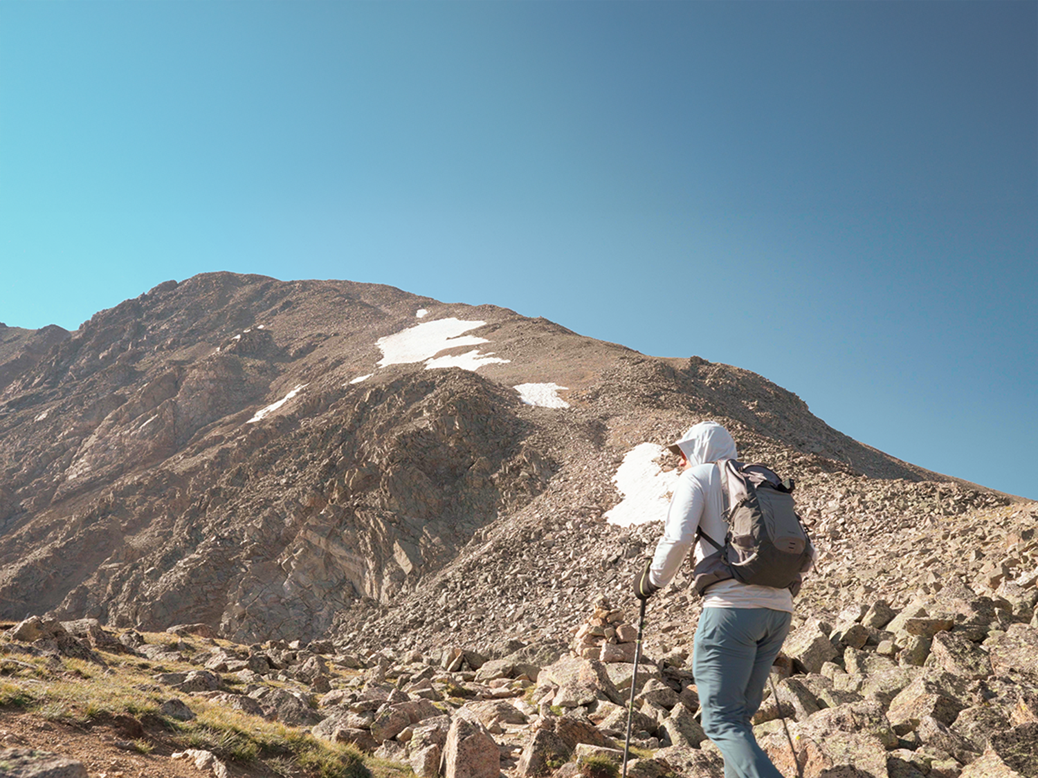
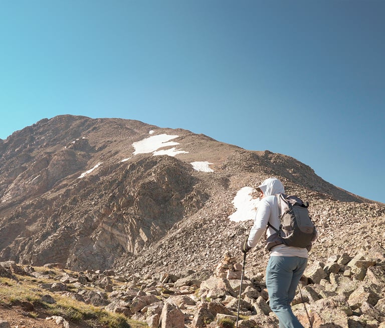
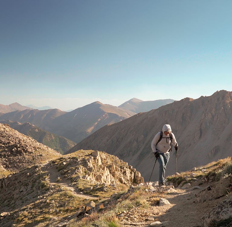
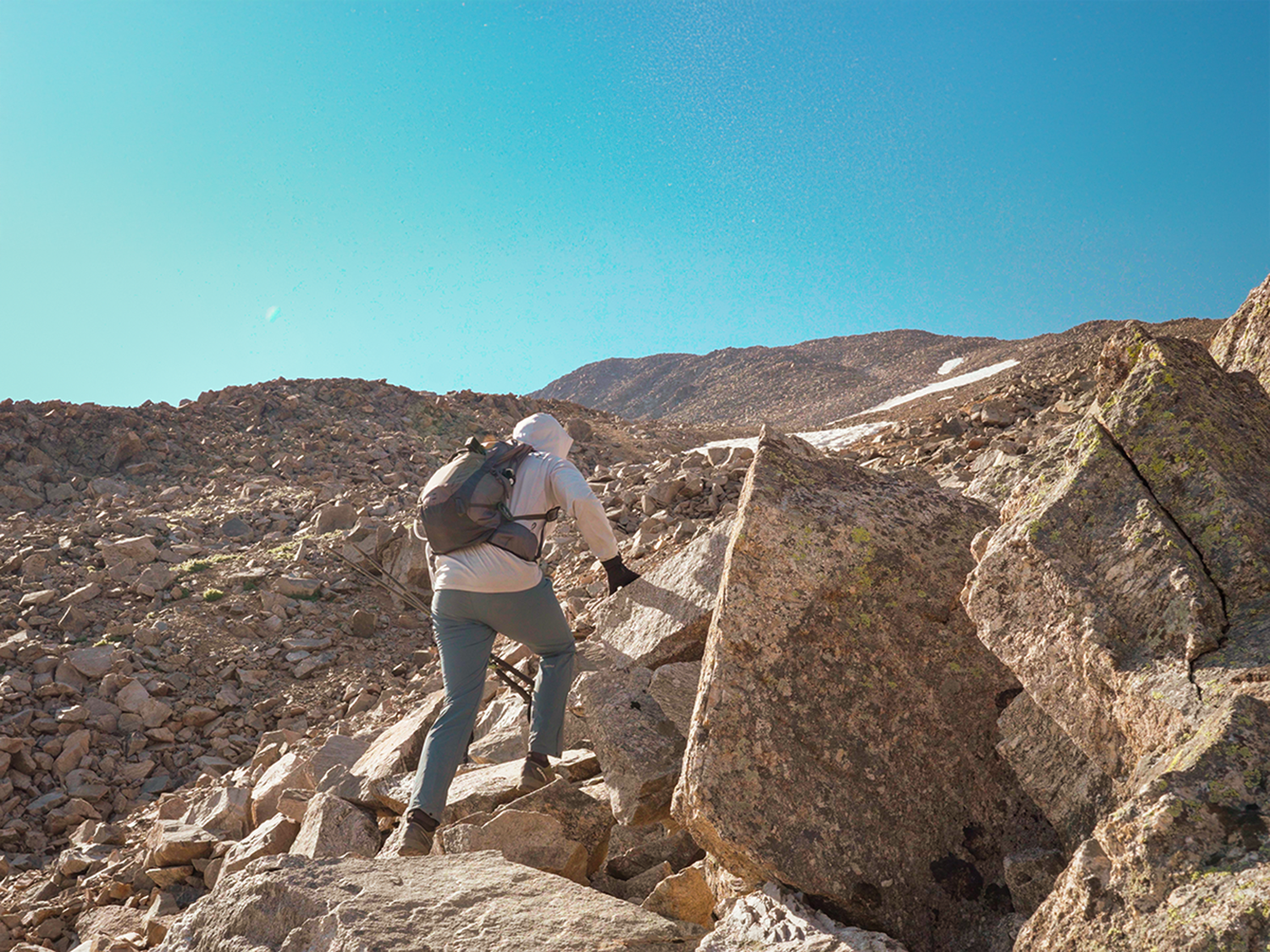
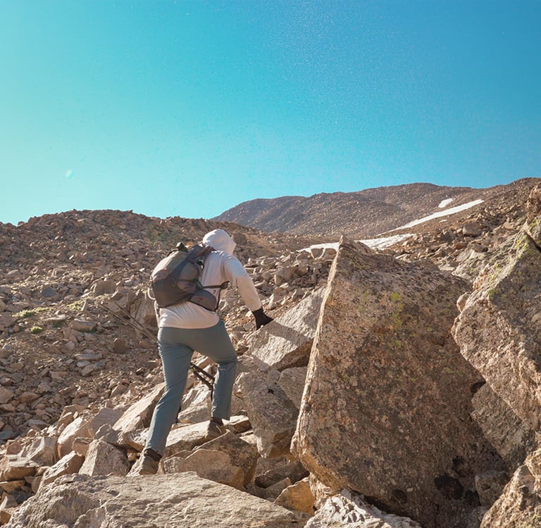
Past 11,000 feet, the trail shifts away from the creek and begins a series of steep traverses and switchbacks. A rocky gully at 11,800 feet provides a good challenge before the trail swings south across open hillsides. Around 12,300 feet, a flat area with a distinctive square boulder marks the transition to the next phase: the northwest ridge.
Onto the Ridge
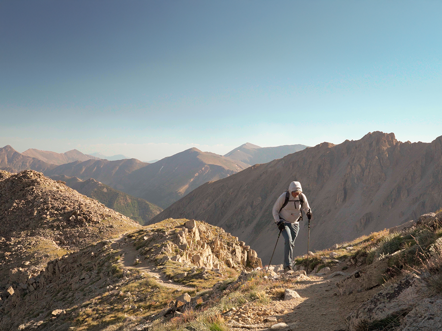
At 12,750 feet, the route gains La Plata’s broad northwest ridge. From here, it’s 1.25 miles to the summit — but don’t let the distance fool you. The ridge is rugged, and the talus fields make footing and route-finding tricky.
The most confusing section comes when you encounter a rocky buttress. The trail swings right onto the west side of the ridge, fades into talus, and then climbs back to the crest. Stay alert here — if you drift too far, cut left to regain the ridge.
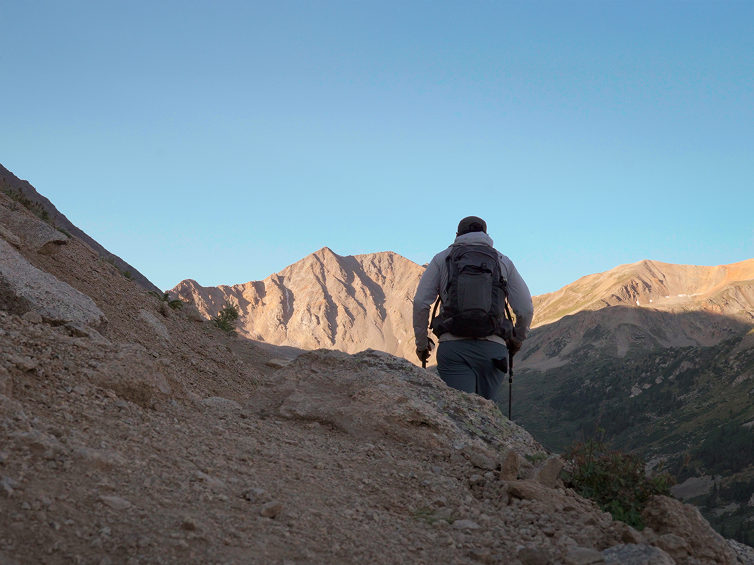
Once back on track, the climb continues steeply to a flat spot at 13,500 feet, where the summit finally comes into view. A steep push up another 300 feet (snow patches here can actually make things easier if you’ve brought traction) leads to more manageable hiking. Above 14,000 feet, the grade eases slightly as you make the final push south to the summit.
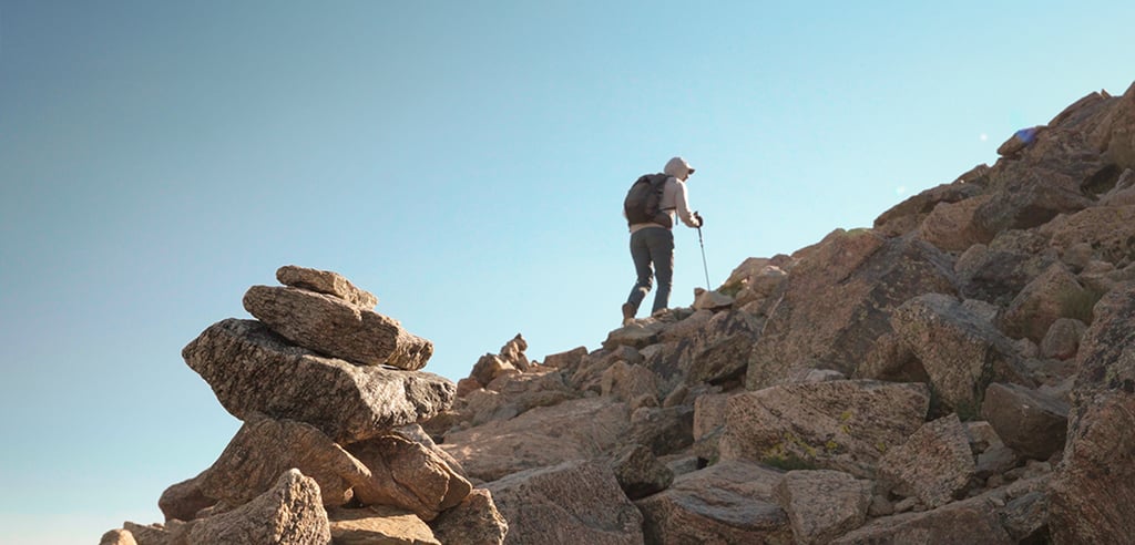
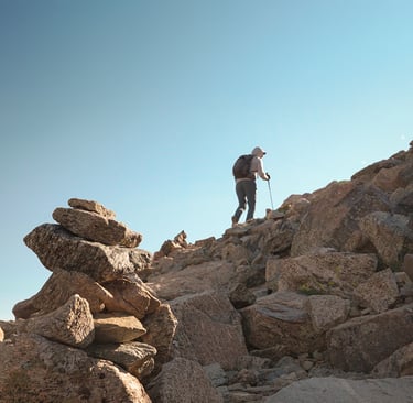
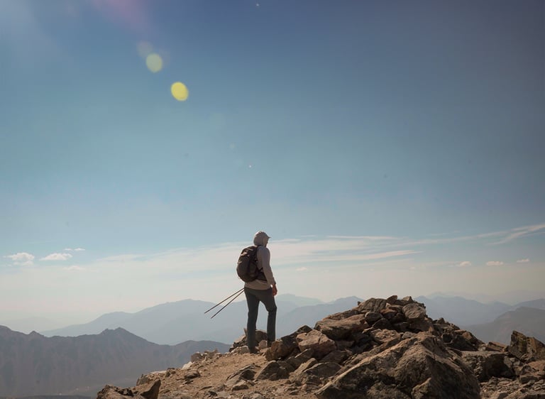
The Summit Experience
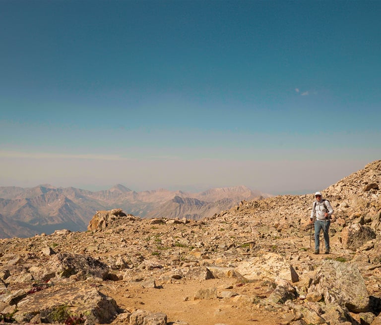
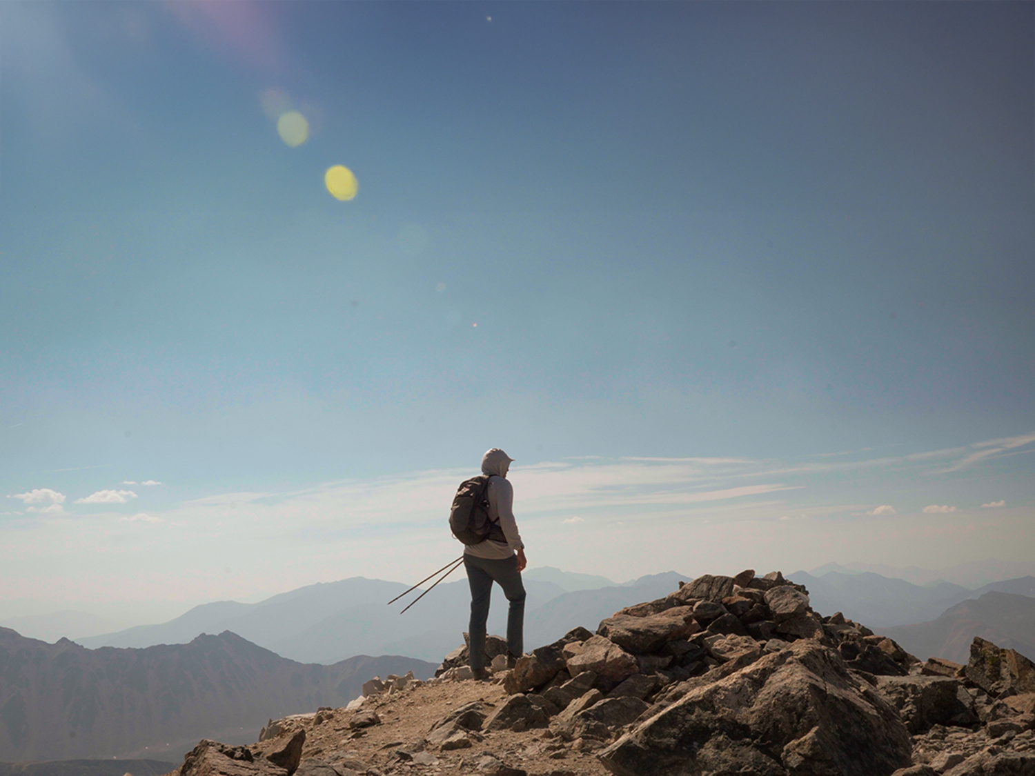
At the top of La Plata Peak (14,336 feet), I was greeted with smoky skies instead of the typical panoramic views of the Sawatch Range. Normally, you’d see Mount Elbert, Mount Massive, and countless alpine ridges stretching in every direction. Instead, the horizon blurred into a hazy wall of wildfire smoke.
It was a reminder of the fragility of these wild places — and the changing conditions we often face in the high country. Despite the reduced visibility, standing on La Plata’s summit was still an incredible feeling. The steep trail, the rocky ridge, and the lingering smell of smoke all combined into a unique and memorable experience.
Wilderness Area Restrictions
Most of this route lies inside the Collegiate Peaks Wilderness, which means there are special regulations to help preserve the backcountry experience:
🚫 No drones — they disturb wildlife and other hikers.
🚫 No mechanized equipment — bicycles and similar devices are not allowed.
🏕️ Leave No Trace — pack out all trash and avoid creating new campsites or trails.
🐾 Pets — must be under control; some wilderness areas require leashes, so always check local rules.
Respecting these rules is key to protecting Colorado’s wilderness for future generations.
Final Thoughts
La Plata Peak is not the easiest 14er — the steep grades, route-finding challenges, and rugged terrain make it a serious hike. But for those prepared for a long day with over 4,500 feet of elevation gain, it’s one of the most rewarding climbs in the Sawatch Range.
If you plan to hike La Plata:
Start early, as the climb is demanding.
Bring plenty of food and water.
Be prepared for steep grades, loose talus, and fast-changing conditions.
Remember you’re in a wilderness area — follow the rules, respect the land, and leave it better than you found it.
Even in smoky conditions, La Plata Peak proved unforgettable — a true Colorado classic.
Curious About My Gear?
I get asked all the time what I use for hikes like this. Instead of listing everything here, I keep an updated page with my favorite hiking and backpacking gear:
👉 Check out my gear list here


Trail Basics
- Route: Northwest Ridge via La Plata Gulch Trail
- Distance: 9.25 miles round trip
- Elevation Gain: ~4,500 ft
- Trailhead Elevation: ~10,040 ft
- Summit Elevation: 14,336 ft
- Difficulty: CLASS 2 (Some Scrambling)
- See my Route Via GAIA GPS
