Hiking Grays and Torreys Peak: Colorado’s Classic 14er Combo
Grays Peak (14,270 ft) and Torreys Peak (14,267 ft) are Colorado’s most popular 14er duo — often climbed together in one day from Stevens Gulch. This guide covers the standard Class 1 route, what to expect on the trail, updated 2025 parking rules, and why you should avoid confusing it with the Class 3 Kelso Ridge.
14ERSHIKING
Devin
8/24/20254 min read
Hiking Grays and Torreys Peak: Colorado’s Classic 14er Combo
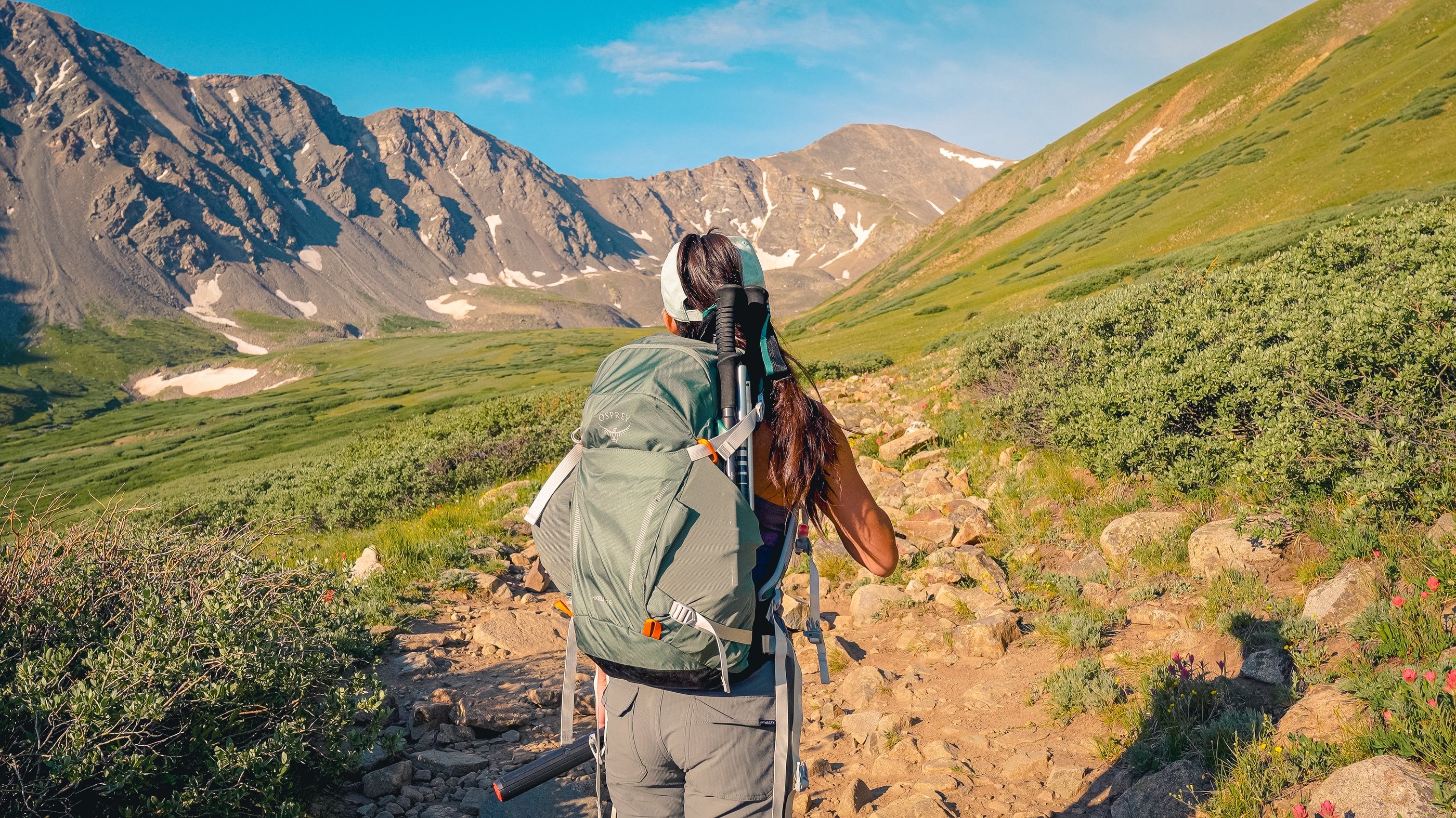
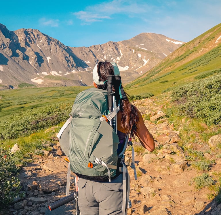
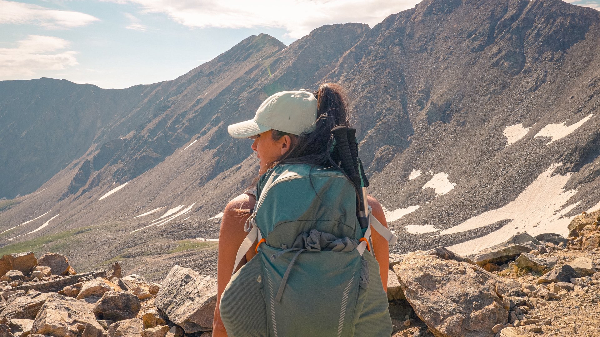
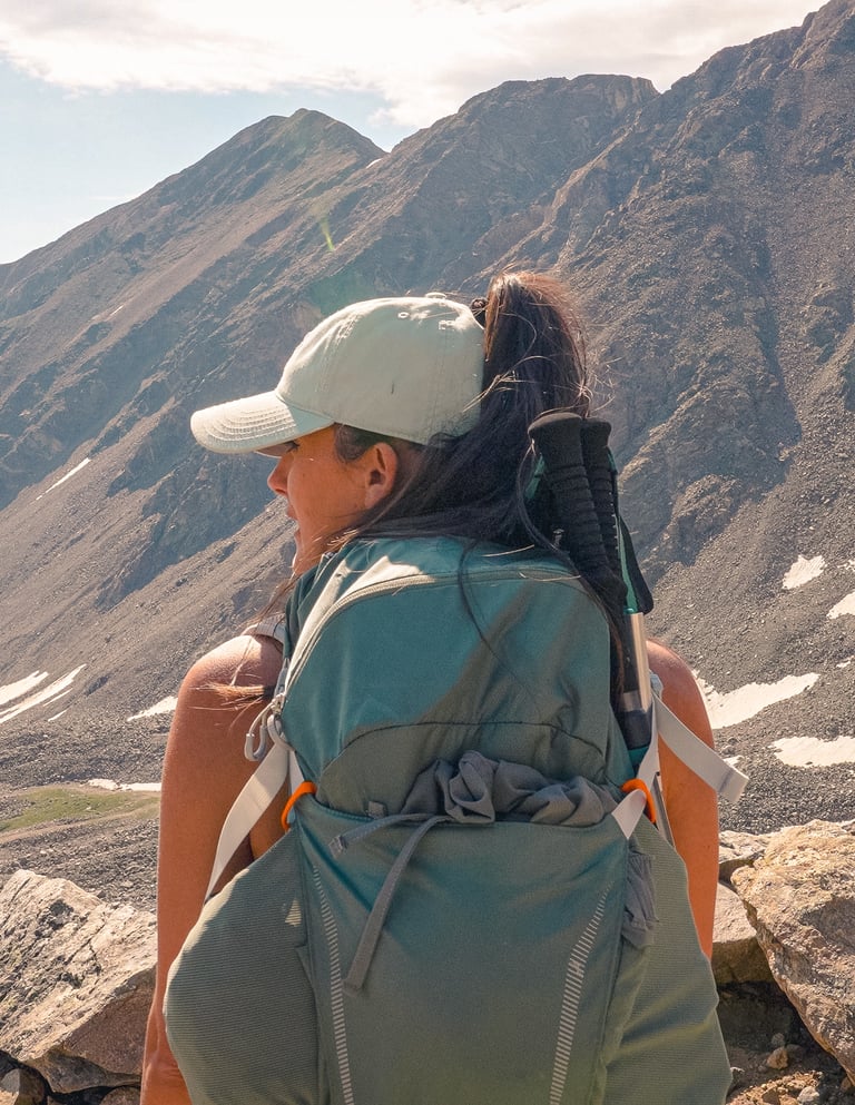
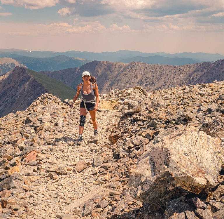
In July 2024, we set out to hike Grays Peak (14,270 ft) and Torreys Peak (14,267 ft) — one of the most popular 14er duos in Colorado. These two summits sit side by side in the Front Range, just off I-70, and are often climbed together in a single day. We chose to summit Torreys first, then Grays, which gave us a slightly quieter ascent and a beautiful perspective of Grays while descending from Torreys.
Parking was our first challenge. We arrived right at sunrise and lucked out — someone was leaving just as we pulled in, giving us a spot at the summer trailhead. Parking here has always been limited, but it’s even more important to plan ahead now: beginning in 2025, Clear Creek County has started ticketing vehicles parked along the road, so don’t count on shoulder parking anymore.
Getting to the Trailhead
Take I-70 to the Bakerville exit (#221). From there, drive south to the dirt parking area at the start of Forest Road 189 — this is the winter trailhead. Even when the upper road is open, low-clearance cars should park here. From the winter lot, it’s nearly 3 miles up the rough road to the summer trailhead at 11,280 ft, where you’ll find a parking lot, restrooms, and a handful of dispersed camping spots.
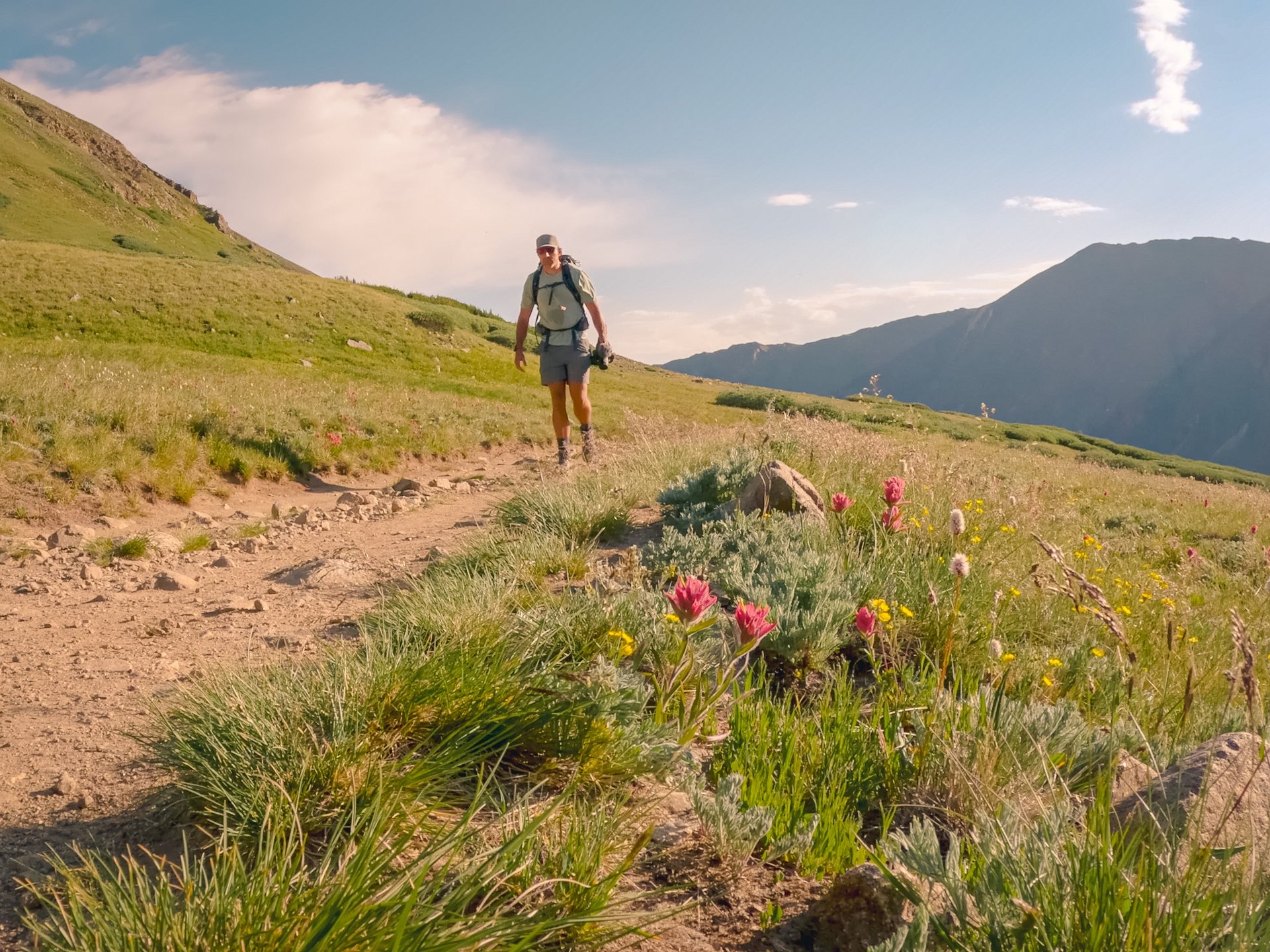
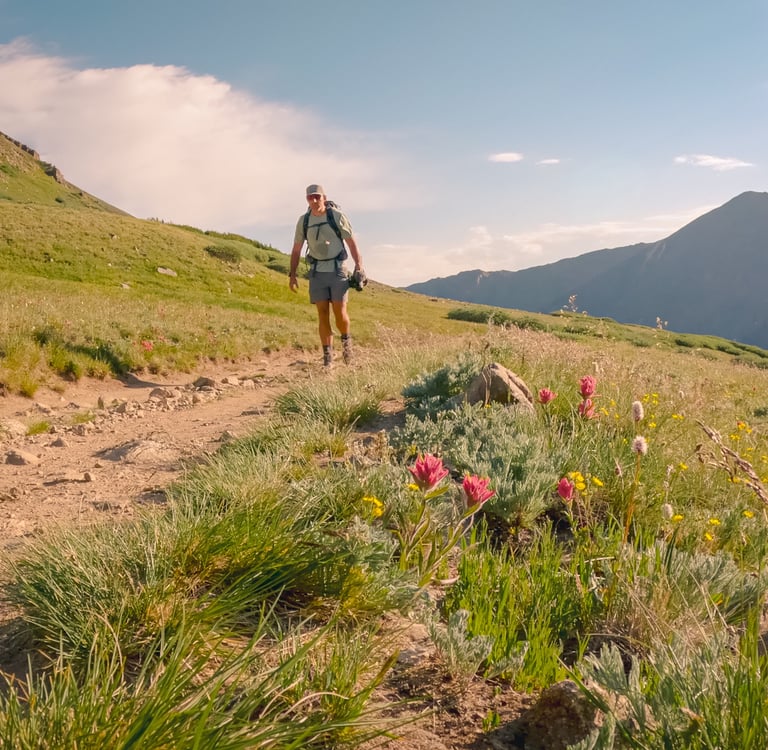
The Trail Up Stevens Gulch
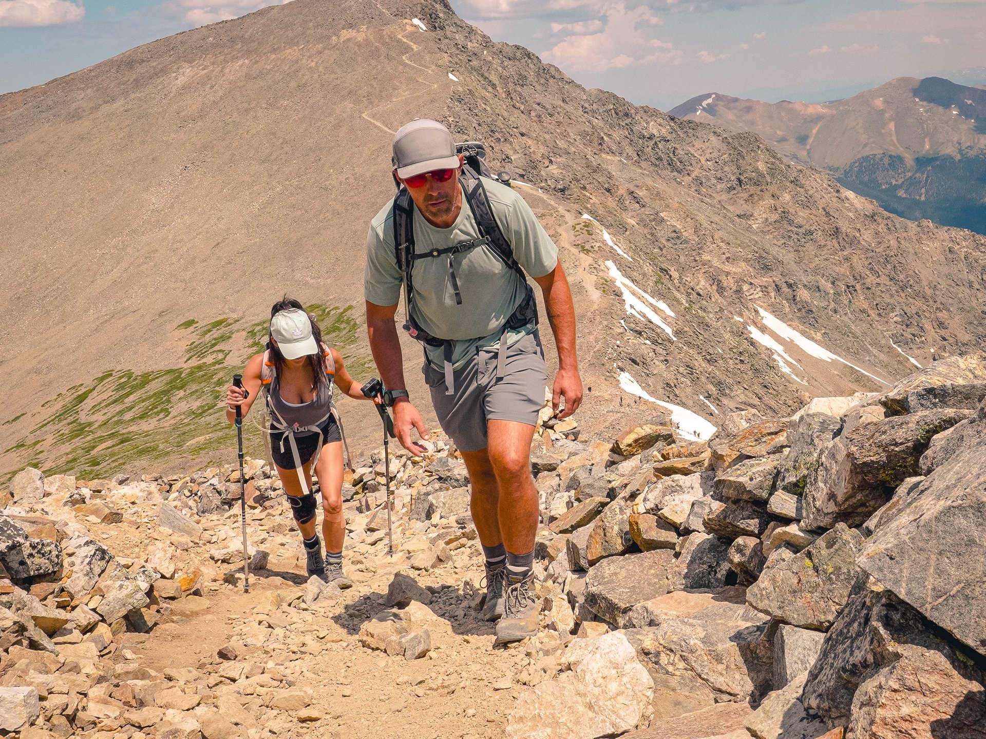
From the summer trailhead, cross the large bridge spanning Stevens Gulch and continue into the basin. For about 1.5 miles, the trail is a moderate climb through alpine meadows with big views of the surrounding peaks. At the halfway mark, you’ll pass an informational sign before working across a rocky area near 12,300 ft.
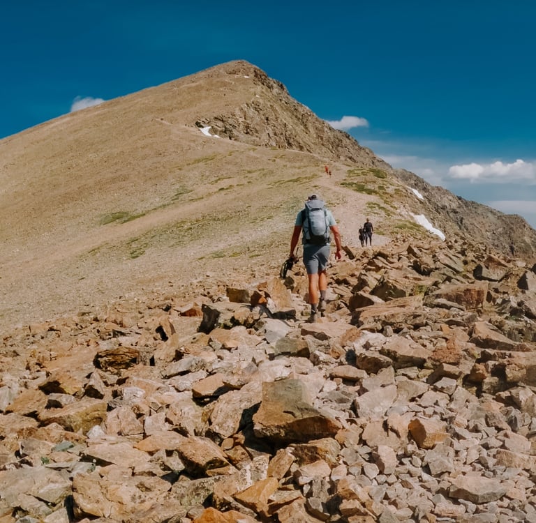
The trail then climbs toward a ridge that runs south off the east side of Grays. At 12,600 ft, the route traverses left along the west side of the ridge before reaching the well-signed Grays–Torreys trail junction at 13,300 ft.
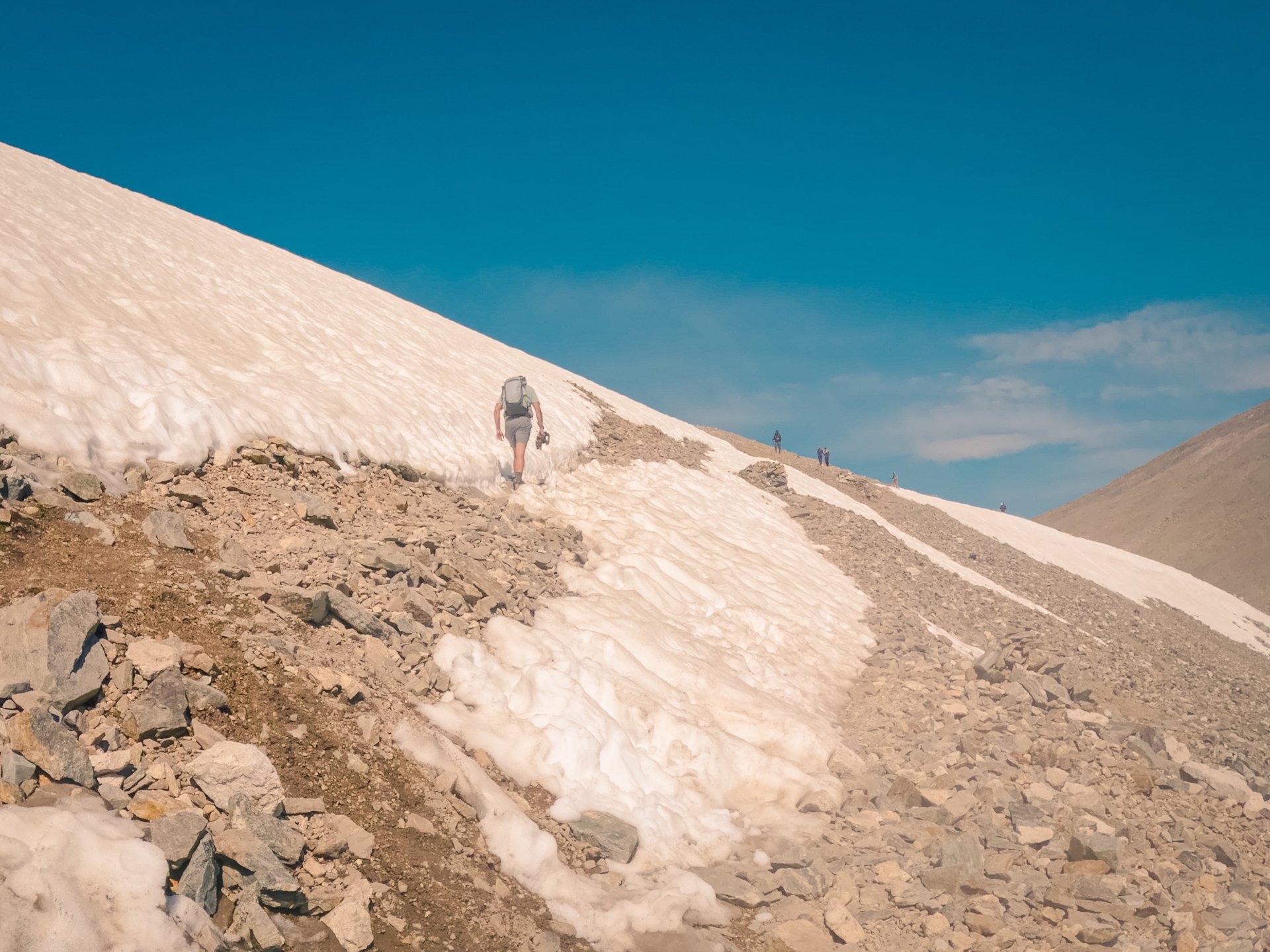
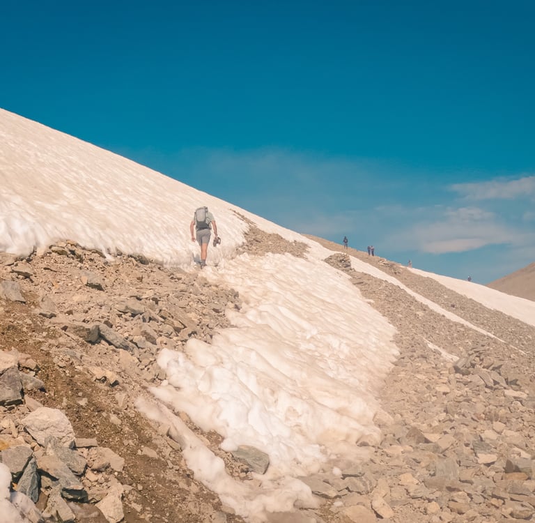
Torreys First
At the junction, we turned left toward Torreys, traversing southwest to the Grays–Torreys saddle at 13,700 ft. This stretch is fragile alpine terrain, so it’s important to stay on the trail. From the saddle, the climb steepens — about a half mile to the summit of Torreys Peak (14,267 ft). The final push is rocky but straightforward, and we were rewarded with sweeping views of Grays across the saddle.
Onto Grays Peak
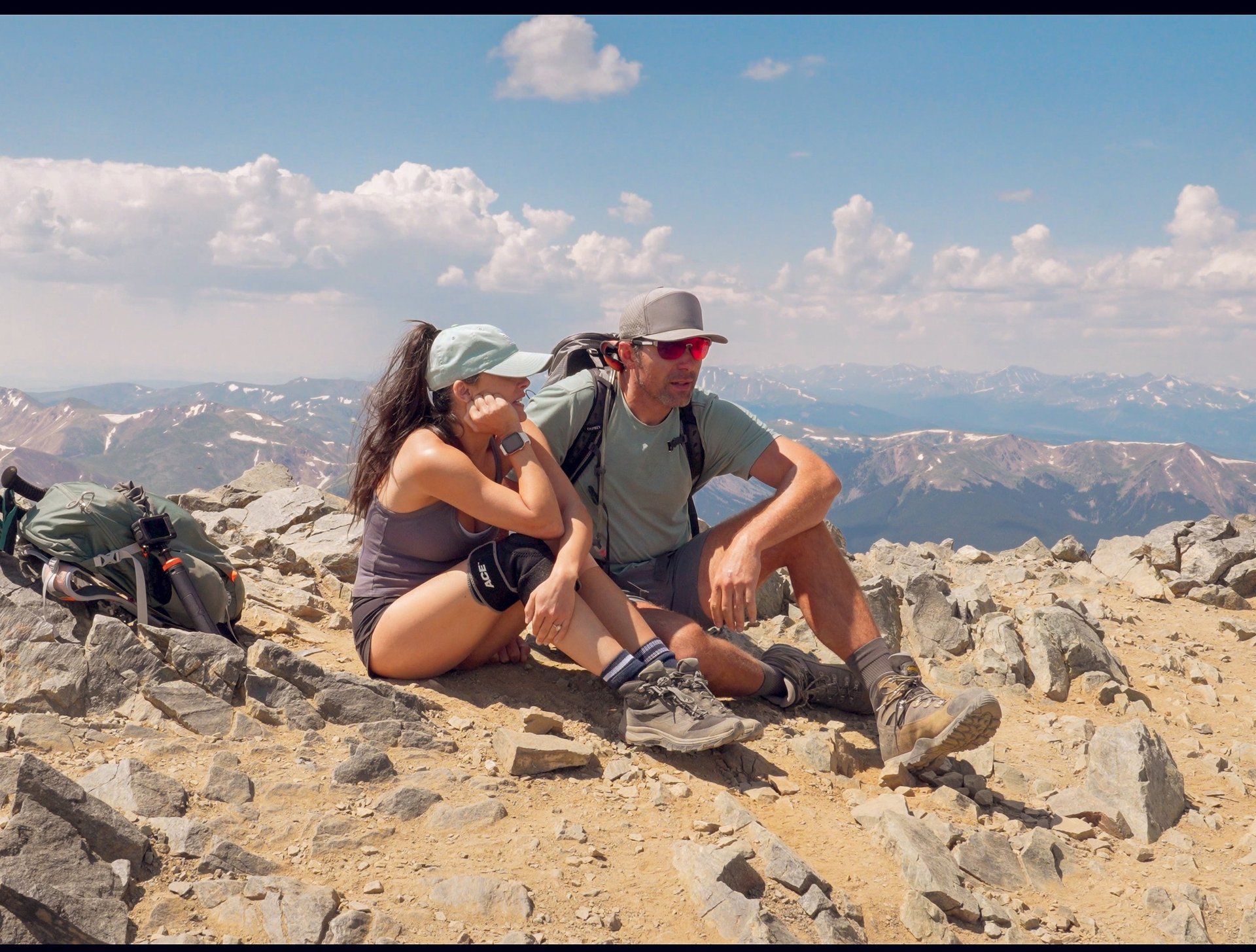
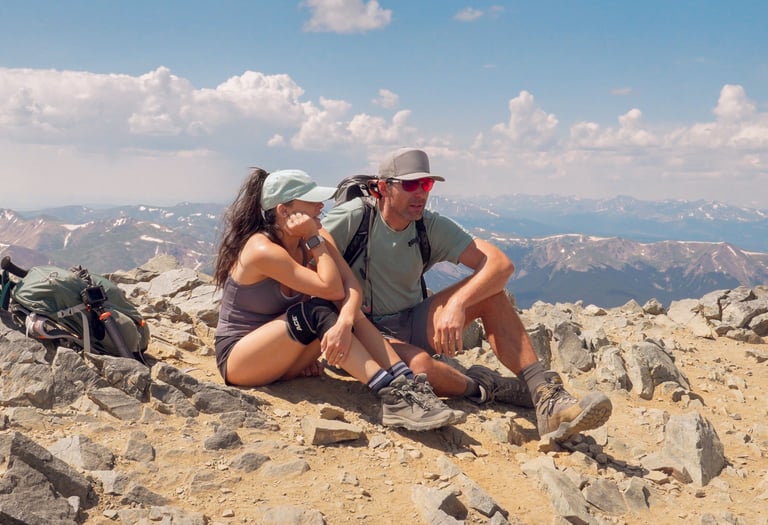
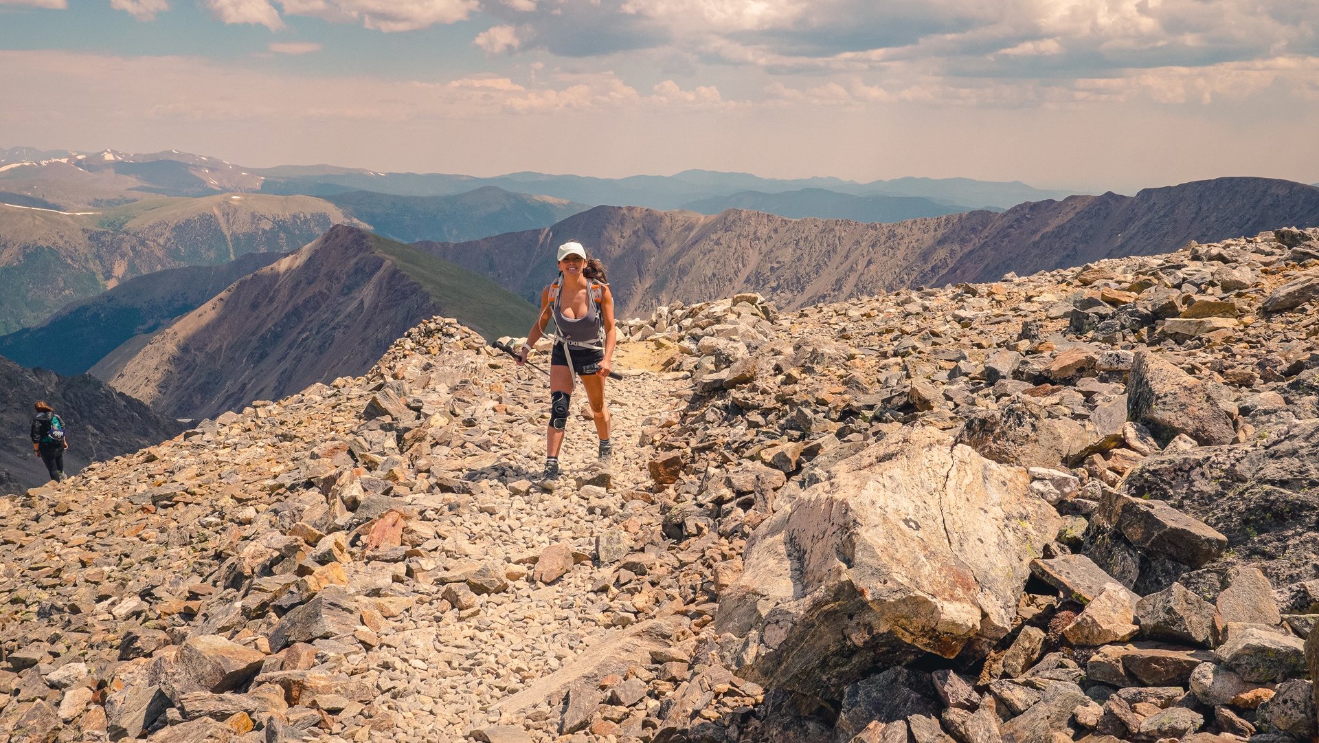
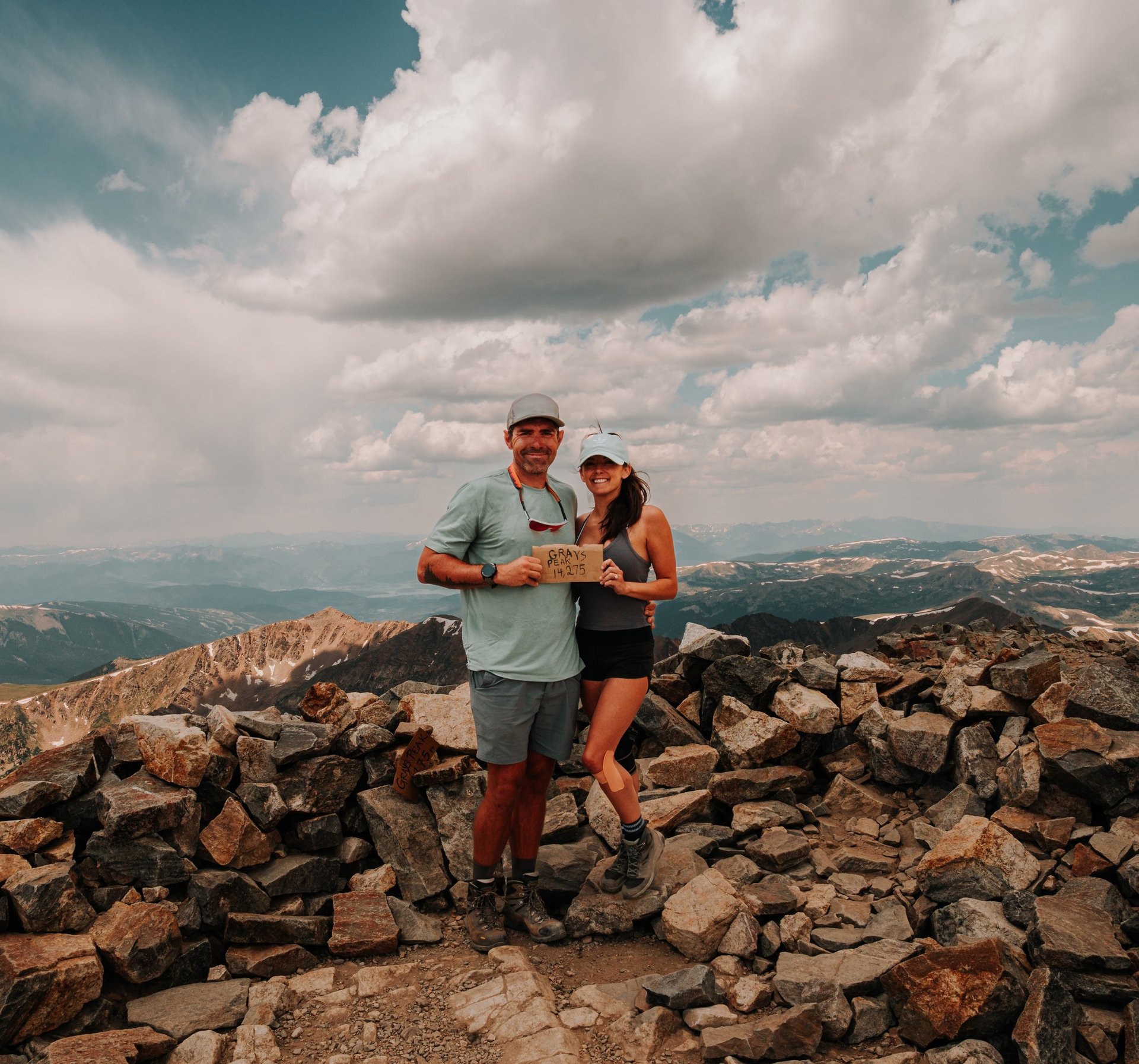
From the saddle, it’s about a mile to the summit of Grays Peak (14,270 ft). The trail climbs steadily with switchbacks up the northeast face. By the time we summited Grays, the trail was buzzing with hikers who had gone for Grays first — another reason we liked our Torreys-first route.
Standing on Grays, you can see the full expanse of Stevens Gulch, Torreys to the west, and even distant peaks like Mount Evans and Longs Peak on a clear day.
Route Classification: Standard vs. Kelso Ridge
The standard route up Grays and Torreys via Stevens Gulch is considered a Class 1 hike, meaning it is on a well-defined trail and does not require scrambling. While it’s a strenuous day with significant elevation gain, it’s non-technical and appropriate for prepared beginners.
However, you’ll sometimes see another option listed on hiking apps: the Kelso Ridge route. This is a Class 3 scramble, involving hands-on climbing, exposure, and route-finding skills. It should not be attempted by beginners.
Because many apps label both routes as “difficult,” hikers sometimes assume they are the same level of challenge — but they are very different experiences. If you’re new to 14ers, stick with the standard Class 1 Stevens Gulch trail for the double summit.
Final Thoughts
Climbing Grays and Torreys together is one of the most classic 14er hikes in Colorado. While not technically difficult, the combination makes for a big day: over 3,600 ft of elevation gain and 8+ miles round trip from the summer trailhead.
If you plan to hike these peaks:
🚗 Arrive early — parking is extremely limited, and roadside parking now risks a ticket.
🥾 Be prepared for crowds — this is one of the busiest 14er routes in the state.
🌩 Start early for weather — storms build quickly in the Front Range.
🌱 Stay on trail — alpine terrain near the saddle is fragile.
📍 Know your route — standard trail = Class 1 hike; Kelso Ridge = Class 3 scramble.
Doing Torreys first gave us a quieter start and a unique way to experience the pair. Whether you climb Grays then Torreys or reverse it, this duo is a must for any Colorado hiker.
Trail Basics
- Route: Standard Stevens Gulch Trail (Class 1)
- Distance: ~8.5 miles round trip (double summit)
- Elevation Gain: ~3,600 ft
- Trailhead Elevation: 11,280 ft (summer trailhead)
- Summits: Grays Peak 14,270 ft, Torreys Peak 14,267 ft
- Difficulty: Class 1
- Best Season: July to September
- Find my route in Gaia GPS Here